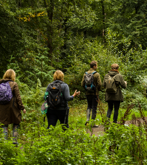
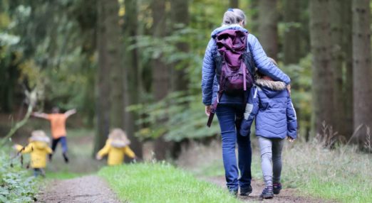
Schools and Outdoor Education
-
Junior Forester Award
The Junior Forester Award gives children and young people an insight into a career in Forestry as well as the practical ability to assist in woodland management in their schools and local communities.
Read more
-
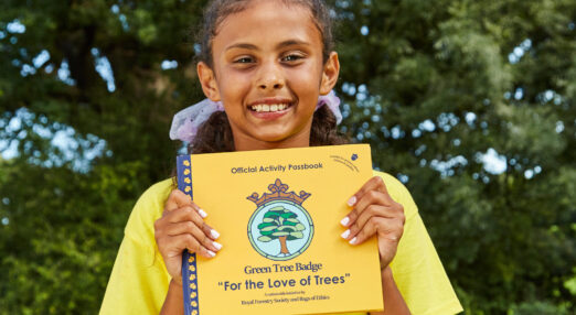
Green Tree Badge
The Green Tree Badge enables children, schools, and families learn more about the amazing world of trees and forestry. You’re challenged to go on a fun journey of activities to achieve your Green Tree Badge, all described in an Activity Passbook.
Read more
-
Level 1 Award in Forestry in the Community
A new qualification developed by the RFS for young people wanting to gain their first experience and qualifications in Forestry.
Read more
-
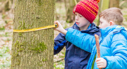
Tremendous Trees
Everything a Junior Forester could need to know including how to age a tree, how we identify trees and where their names come from.
Read more
-
Forest Education Network (England)
A community of organisations from across the Forest Education sector.
Read more
-
School Visits
Teaching Trees offers fully funded woodland visits and school based workshops for children aged 3+. Led by our Education Officers, our visits are curriculum linked and create knowledge and understanding through experience of the natural world.
Read more